Tollgate Ghosts: A Back-Roads Itinerary Through Pennsylvania’s Wooden Highways
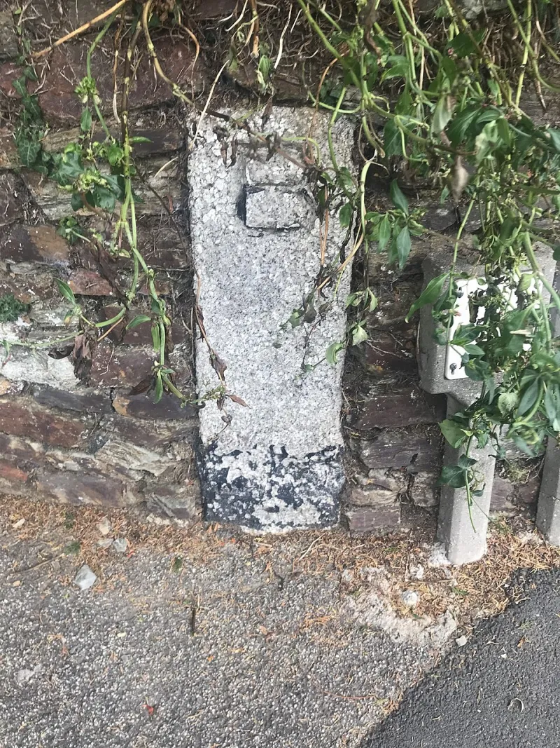
Photo: Paul Barnett , CC BY-SA 2.0, via Wikimedia Commons
Before the interstate, before even the auto age, Pennsylvania moved on wood. Not just wagons and coach wheels—the roads themselves. In the middle of the 1800s, private companies laid down plank roads: timber ribbons, often eight to twelve feet wide, built to pull farmers, stagecoaches, and freight out of the mud. They were expensive, temporary, and wildly popular. They also came with gates, gatekeepers, and a toll schedule that could charge by the mile, the wagon, the wheel, or the head of livestock.
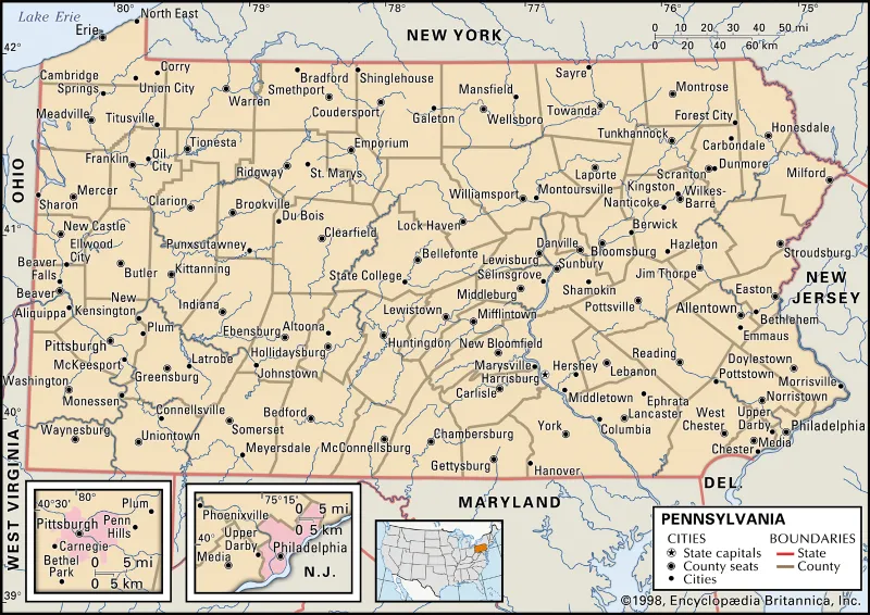
That economy left marks on the landscape. Some are obvious—a stone tollhouse still standing at a bend. Some are nearly invisible—a ridgeline in a hayfield, a street named Plank Road, a stone mile marker half-swallowed by honeysuckle. This itinerary is a two- to three-day back-roads ramble through south-central and southwestern Pennsylvania, chasing those remnants without pretending every stretch is a museum exhibit. Think of it as roadside archaeology with a diner stop.
Why Wooden Roads Were a Big Deal
Plank roads were an engineering flex in their day. Builders laid sleepers across a prepared roadbed, then nailed down thick planks—often oak or pine—so wagons could roll instead of wallow. In wet weather, that mattered. A loaded farm wagon could sink to its axles on a dirt road; on planks, it kept moving. Towns fought to get the roads. Investors bought stock in turnpike and plank-road companies. Farmers near a good gate could make money selling hay, repairs, and whiskey to travelers.
But wood rots. Planks curled, split, and disappeared under frost. Maintenance costs ate the toll revenue. By the late 1800s, many plank roads were being converted to macadam or simply abandoned as railroads stole the long-haul freight. The tollgates came down, but the routes often stayed—as today’s rural highways, farm lanes, and Main Streets.
Start in Lancaster County
Begin where Pennsylvania’s toll-road habit got serious. The Philadelphia and Lancaster Turnpike, completed in the 1790s, was one of the young nation’s first major turnpikes, and the corridor west of Lancaster still carries that old travel DNA. Drive Route 340—the Old Philadelphia Pike—through Intercourse and Bird-in-Hand, but don’t just follow the buggies. Watch for the road’s older habits: wide shoulders where wagons once pulled aside, stone bridges, and occasional mile markers tucked near farm gates.
Lancaster County is also a good place to reset your expectations. Most plank-road traces here are not interpretive sites with brochures. They are working farmland. Park only where it’s legal, respect private drives, and treat a surviving tollhouse—if you find one—as someone’s home first and a historic artifact second.
The Tollhouse Test
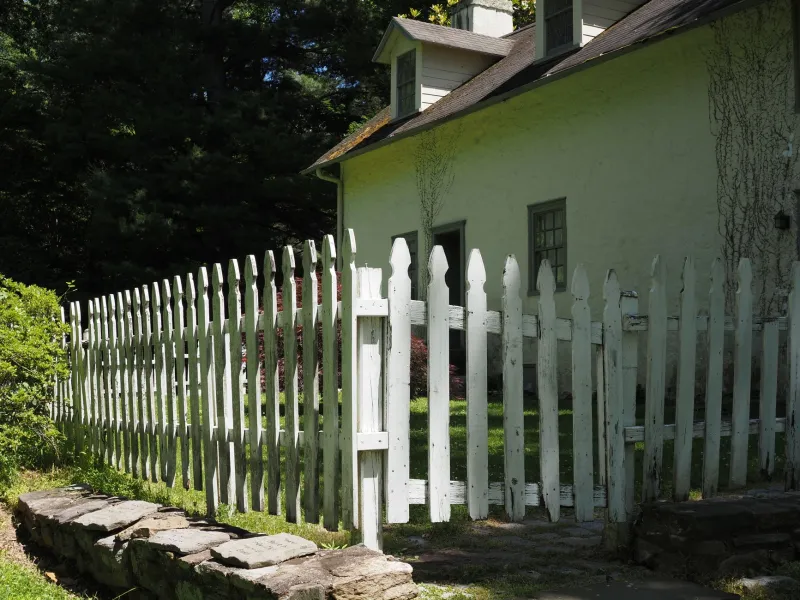
The classic tollhouse was a small, sturdy building set right at the gate, often with a front-facing gable and a window angled toward the road. The keeper needed to see who was coming and whether they’d paid. Some were two-story homes; others were little more than a room with a stove and a ledger. If you spot a squat stone or brick building sitting uncomfortably close to an old road, with a door facing the traffic and a curious lack of front yard, you may be looking at one.
A reliable anchor for this leg is Searight’s Tollhouse in Fayette County, out along the old National Road corridor near Farmington. It’s a National Road tollhouse rather than a plank-road gate, but the function was the same: stop the traveler, collect the fee, keep the road passable. The building helps you picture the whole system—the gate, the keeper, the traffic, the argument over whether a wagon was really “loaded” or just generously packed.
Across the Cumberland Valley
From Lancaster, aim west toward York and Gettysburg, then down the Cumberland Valley through Chambersburg. This is turnpike country—broad, settled, and full of old tavern buildings and town squares that grew because they sat at a crossroads. You won’t find a continuous plank road to follow. What you will find are street names, bridge crossings, and local historical societies with folders of old road maps.
That’s the fun of this drive: it rewards stopping. In a small-town historical society, ask for the old turnpike or plank-road map. In a diner, ask if anyone remembers a “tollgate” road. Locals often know the landscape by older names than the GPS does. The route is less a checklist than a scavenger hunt.
The National Road Anchor
Push farther west toward Bedford and the Laurel Highlands, where the National Road—the nation’s first major federally funded highway—cut through the mountains. The road’s stone bridges, mile markers, and tollhouse remnants give you the clearest sense of what early travelers faced. By the time you reach Fayette County, you’ve moved from plank-road speculation into surviving tollhouse reality.
This is also where the tollgate economy becomes visible in a different way. Towns that sat on the road got the inns, the blacksmiths, the wheelwrights, and the gossip. Towns a ridge away sometimes got nothing. The road wasn’t just transportation; it was a business funnel.
What to Look For
Keep an eye out for these roadside clues:
- Street names: Plank Road, Turnpike Road, Old Pike, Tollgate Road.
- Mile markers: Short stone posts, often worn smooth, set near old road edges.
- Roadbed traces: A slight raised ridge or a line of mature trees running parallel to a modern lane.
- Tollhouse architecture: Small, road-facing buildings with a gate-side window and a stubborn proximity to traffic.
- Old bridges: Stone arches and narrow crossings often predate the automobile.
And practice good rural-road manners. Don’t block farm lanes, don’t climb fences, and don’t assume a grassy track is public just because it looks historic. The best way to keep these places worth visiting is to leave them alone when the sign says so.
The Point of the Drive
Pennsylvania’s plank roads were never meant to be romantic. They were a business proposition: lay wood, charge tolls, move goods, make money. When the wood failed, the business failed, but the route often survived. That’s the ghost you’re chasing on this drive—not a preserved museum, but the shape of a decision. A town grew here because a gate stood there. A farm thrived because a wagon could reach market. A road disappeared into a field, and a street name kept the memory alive.
Fill the tank, bring a paper map, and budget time for a wrong turn. On a wooden-highway hunt, the wrong turn is often the best part.